The short version
- Carlsbad sits in Eddy County, where the USGS assessed the Wolfcamp and Bone Spring of the Delaware Basin as the largest continuous oil resource it had ever assessed.
- The BLM Carlsbad Field Office manages about 2.1 million acres of public land and 2.7 million acres of federal minerals in Eddy, Lea and part of Chaves counties, so a lot of your locations are on federal leases.
- East of Carlsbad, the Known Potash Leasing Area carries special drilling, casing and cementing rules under OCD Order R-111-P, which raises questions about damage below the surface.
- OCD's seismic protocol can cut or shut in disposal well injection after earthquakes, and every truck hauling produced water in New Mexico needs an approved Form C-133 on board.
Eddy County and the Delaware Basin
Carlsbad sits in Eddy County, and the New Mexico Association of Counties notes that the Delaware Basin includes southern Eddy County. In November 2018, the USGS announced that the Wolfcamp Shale and Bone Spring Formation in the Delaware Basin held a mean of about 46.3 billion barrels of undiscovered, technically recoverable oil, 281 trillion cubic feet of gas and 20 billion barrels of natural gas liquids. USGS called it the largest continuous oil assessment it had ever done and said it was more than twice the Midland Basin's.
EIA's geology review describes the stack:
- The Delaware Mountain Group (Bell Canyon, Cherry Canyon and Brushy Canyon) on top.
- The Bone Spring, which directly underlies the Brushy Canyon and overlies the Wolfcamp. EIA lists its members from the Bone Spring Lime and Avalon down through the First, Second and Third Bone Spring carbonates and sands.
- The Wolfcamp below.
EIA also notes that the Bone Spring of the Delaware Basin "extends in subsurface under southeastern New Mexico and a part of West Texas."
For a contractor, that means deep horizontal wells, long laterals and big completions. The pace and volume of that work drive a lot of water hauling, frac support and flowback, and it puts heavy loads on lease roads. See hot oil insurance and water hauling insurance.
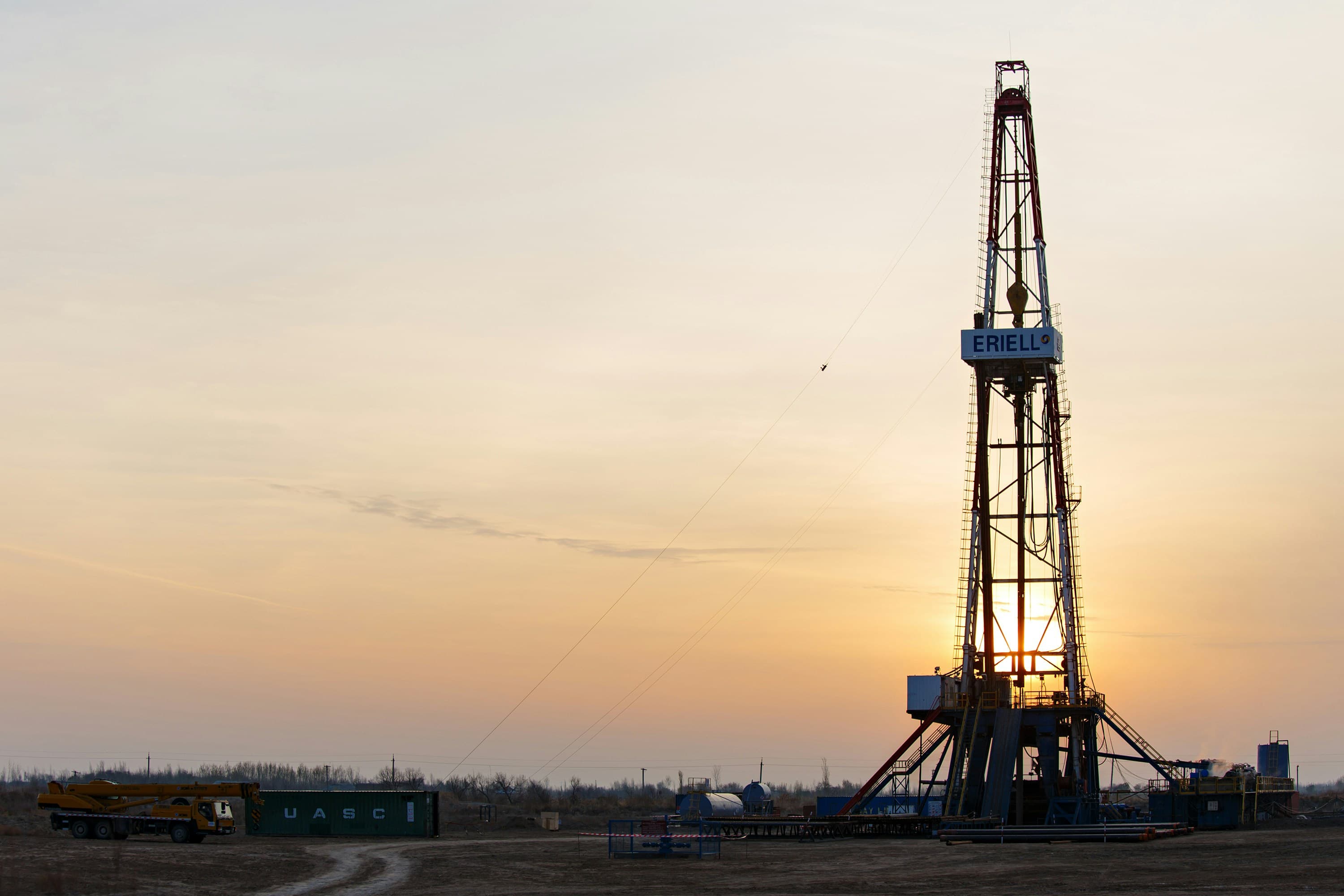
Permian
West Texas and southeast New Mexico
- Hydrogen sulfide (H2S) on many leases
- Produced water hauling and SWD traffic
- Long lease-road miles per truck
- New Mexico work needs out-of-state comp
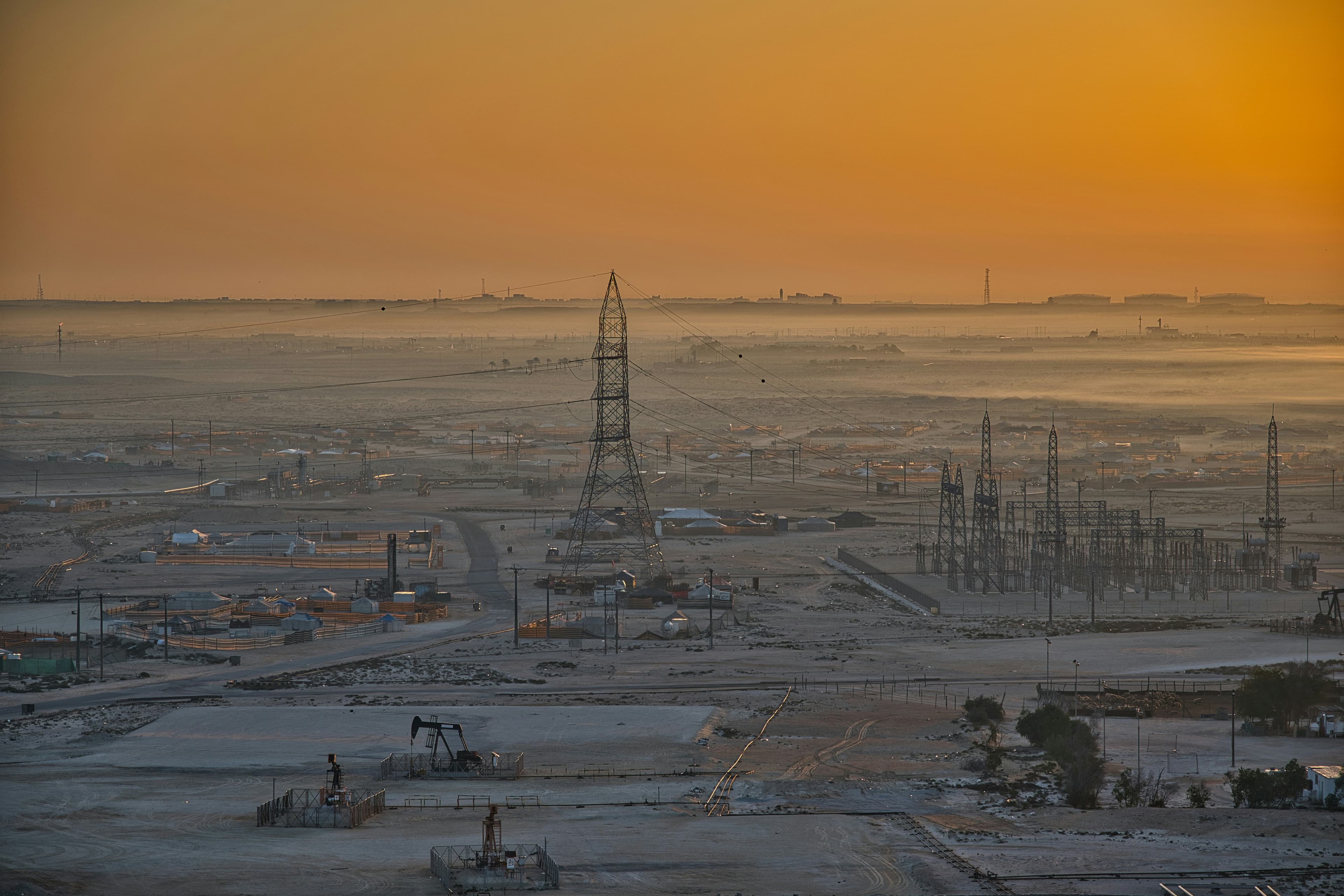
Eagle Ford
South Texas
- Sand and frac traffic on rural roads
- Yards and equipment closer to Gulf storms
- Heavy summer heat exposure for crews
- Mixed oil, condensate and gas work
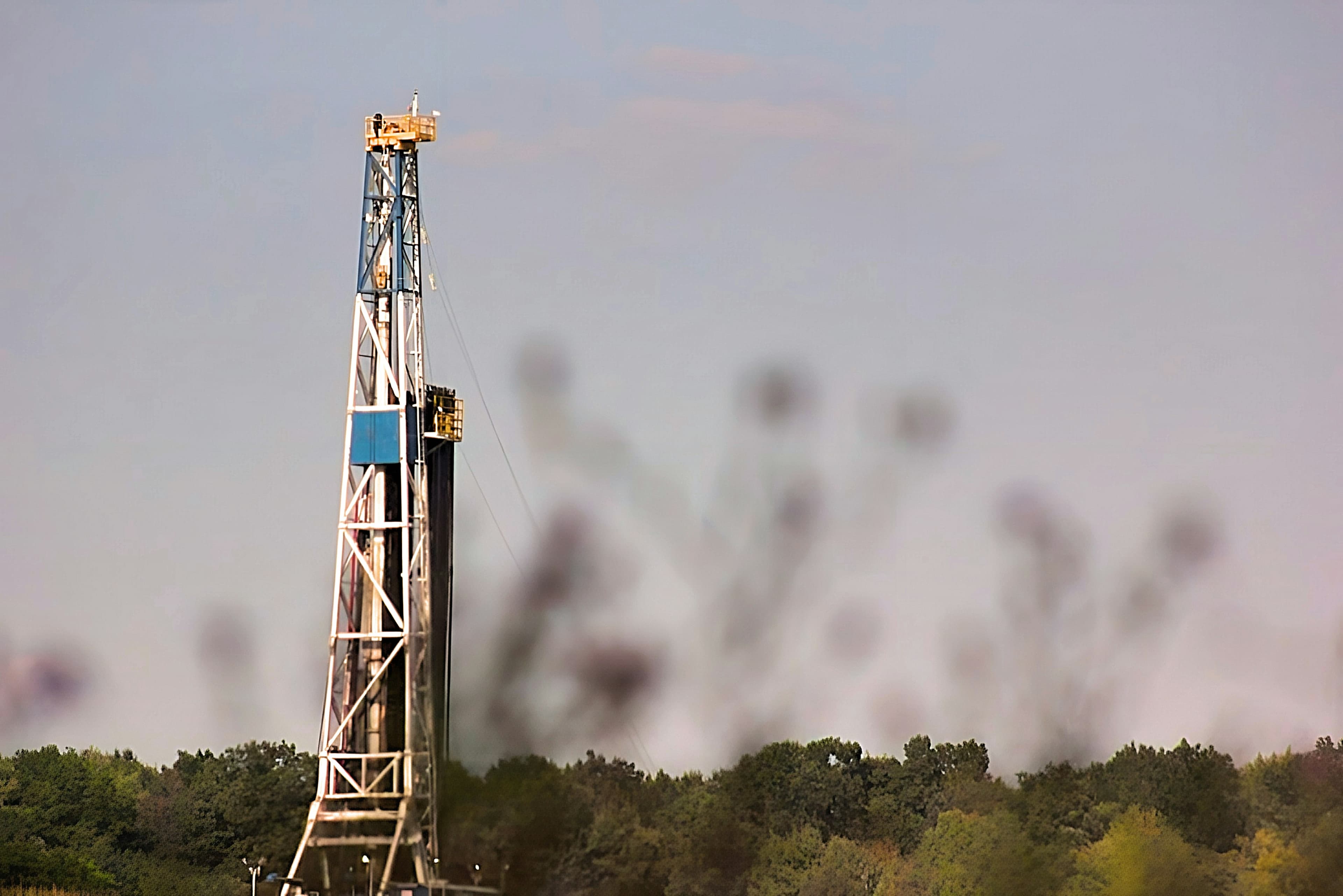
Haynesville
East Texas and northwest Louisiana
- Deep, high-pressure gas wells
- Louisiana work: different anti-indemnity law
- Louisiana workers comp is not optional
- Wet ground and timber-country access
Federal land: the BLM Carlsbad Field Office
Much of the ground around Carlsbad is federal. The BLM's Carlsbad Field Office, at 520 E. Greene Street, says it administers over 2 million acres of surface estate and 3 million acres of mineral estate in southeastern New Mexico, inside the Permian Basin.
In a September 4, 2026 release, BLM described a proposed revision of the Carlsbad land-use plan covering about 2.1 million acres of public land and 2.7 million acres of subsurface minerals in Eddy and Lea counties and part of Chaves County. Under the proposal, 97% of the public land managed by the field office would be available for energy and mineral leasing. The 3% that would not includes critical wildlife habitat, cave and karst areas and wilderness study areas. The plan would replace the 1988 Carlsbad plan, as amended.
Why that matters to your insurance:
- Federal surface damage. On a federal lease, damage your crew does to the surface, a road or a cave and karst feature can bring a claim from the operator under the MSA and from the agency. Check how your GL handles property damage and whether your MSA makes you restore the site.
- Pollution on public land. A spill on federal surface is still your spill if it came from your truck or your equipment. Make sure your pollution coverage is not limited to the operator's premises. See contractors pollution liability.
- H2S plans. New Mexico's H2S rule lets an operator submit an H2S contingency plan required by BLM to OCD if it meets the state rule, so the training records operators ask you for often serve both.
The potash area east of Carlsbad
Carlsbad has a second mineral industry underground. The New Mexico Association of Counties notes that potash was discovered near Carlsbad in 1925. Oil and gas wells drilled through potash country follow special rules.
OCD Commission Order R-111-P, adopted in 1988, governs drilling of oil and gas wells and mining of potash in the Known Potash Leasing Area in Eddy and Lea counties. The Commission's August 2023 minutes describe the area as extending roughly 50 miles east of Carlsbad. Those minutes also record an industry committee's application to amend R-111-P to add anti-collision measures, change casing and cementing requirements, add notice to potash operators and provide for subsidence monitoring. We have not confirmed the outcome, so check current OCD orders before relying on any specific requirement.
The insurance point: in the potash area, a problem downhole can damage someone else's mineral estate, not just the operator's well. Ask:
- Does your MSA put loss of hole, underground damage and damage to third-party minerals on the operator, or on you?
- If it is on you, does your GL carry underground resources and equipment coverage, or does an exclusion apply? See underground resources and equipment coverage.
- Is well control on the operator, or do you need control of well coverage?
Produced water: seismic limits and the C-133
Produced water is a big share of Carlsbad-area service work, and New Mexico regulates both ends of the haul.
Seismicity. In November 2021, OCD issued a statewide seismic response protocol for produced water disposal wells. It called for extra review of pending permits south of Malaga along the state line, an area it called the County Line Seismic Response Area. Under the protocol:
- Two magnitude 2.5 events within 30 days and 10 miles trigger weekly reporting of injection volumes and pressure within 10 miles.
- A magnitude 3.0 or larger event triggers a 50% injection rate cut within 3 miles and 25% from 3 to 6 miles.
- A magnitude 3.5 or larger event means shut-in within 3 miles, a 50% cut from 3 to 6 miles and 25% from 6 to 10 miles.
When a nearby disposal well cuts volume or shuts in, haulers drive farther to deliver. More miles is more auto exposure, and a new disposal site may matter to your pollution policy.
Hauling permits. Under 19.15.34.17 NMAC, no one may move produced water, drilling fluids or liquid oilfield waste off a lease by truck without an approved Form C-133, and a copy must ride in the vehicle. OCD may deny a C-133 if a corporation or LLC applicant is not registered with the New Mexico Secretary of State. OCD posts the list of approved C-133s each month, and operators are barred from letting anyone without one haul from their leases.
Anti-indemnity. New Mexico's anti-indemnity statute, NMSA 56-7-2, defines covered agreements to include services on a well drilled for "producing or disposing of oil, gas or other minerals or water." Disposal well work is in scope.
See do I need pollution coverage to haul produced water and oilfield auto insurance and MCS-90.
Comp, indemnity and what to send us
New Mexico requires workers' compensation for employers with three or more workers, and for any business doing CILA-licensed work regardless of size. If your company is based in Texas and works Eddy County, New Mexico needs to be on your workers' comp policy. The Hobbs page covers how hiring location and job base affect which state's comp law applies.
Under NMSA 56-7-2, indemnity for an operator's own negligence on a New Mexico well is void, and so are additional insured and waiver of subrogation requirements used to get around that. Your attorney decides what the contract means. We make the policies match it.
Send us:
- The MSA insurance and indemnity sections, and any exhibit on surface restoration or federal lease requirements.
- Your certificates and the WC information page.
- Your C-133 approval if you haul water, and the disposal sites you use.
- Any ISNetworld or Avetta rejection notice.
A licensed insurance specialist will review it and tell you what to fix. Coverage is placed through a licensed Texas insurance agency. Request a review.
Common questions
Who manages federal oil and gas land around Carlsbad?
The BLM Carlsbad Field Office. BLM describes its planning area as about 2.1 million acres of public land and 2.7 million acres of subsurface minerals in Eddy and Lea counties and part of Chaves County.
Do I need a permit to haul produced water in New Mexico?
Yes. 19.15.34.17 NMAC requires an approved Form C-133 to move produced water, drilling fluids or liquid oilfield waste off a lease by truck, and a copy must be in the vehicle.
What happens to disposal wells after an earthquake near Carlsbad?
Under OCD's 2021 protocol, a magnitude 3.0 event cuts injection by 50% within 3 miles and 25% from 3 to 6 miles, and a 3.5 event shuts in wells within 3 miles. Haulers may have to drive farther.
What is the Known Potash Leasing Area?
An area in Eddy and Lea counties, extending roughly 50 miles east of Carlsbad, where OCD Order R-111-P sets special rules for drilling oil and gas wells through potash. An amendment was proposed in 2023.
Does New Mexico's anti-indemnity law cover saltwater disposal work?
NMSA 56-7-2 covers agreements for services on wells drilled for producing or disposing of oil, gas, other minerals or water, so disposal well work is within its definition.
Sources
- USGS: Largest continuous oil assessment, Delaware Basin (Nov. 28, 2018). Wolfcamp and Bone Spring mean estimates; more than twice the Midland Basin.
- EIA: Permian Basin Part 1, Wolfcamp, Bone Spring, Delaware plays (Feb. 2020). Delaware Mountain Group, Bone Spring members and position above the Wolfcamp.
- BLM: Carlsbad Field Office. Address; over 2 million acres of surface estate and 3 million acres of mineral estate.
- BLM: Proposed expansion of energy opportunities in Carlsbad plan (Sept. 4, 2026). 2.1 million acres public land, 2.7 million acres minerals, Eddy, Lea and part of Chaves; 97% open; cave and karst excluded.
- NM Association of Counties: Eddy County. Delaware Basin includes southern Eddy County; potash discovered near Carlsbad in 1925.
- Oil Conservation Commission minutes, Aug. 17, 2023. Case 23655: R-111-P (1988), Known Potash Leasing Area in Eddy and Lea, about 50 miles east of Carlsbad; proposed amendments.
- EMNRD: OCD seismicity guidance (Nov. 23, 2021). County Line Seismic Response Area south of Malaga; Category 1 and 2 triggers and injection cuts.
- 19.15.34 NMAC, Produced water, drilling fluids and liquid oil field waste. Form C-133 requirement, copy in vehicle, grounds for denial.
- 19.15.11 NMAC, Hydrogen sulfide gas. BLM-required H2S plans may be submitted to OCD if they meet the state rule.
- NM SB 280 (2003), amending NMSA 56-7-2. Definition covering wells for producing or disposing of oil, gas, minerals or water; Subsection C.
- NM Workers' Compensation Administration: FAQs. Three or more workers; CILA activities regardless of size.
This page explains insurance, not law. Have your attorney review indemnity and contract language; our job is making the insurance match it.
Keep reading
Basin
What changes about my insurance when I work the Permian, including New Mexico?
By trade
What insurance does a water hauling company need to haul produced water for an operator?
Questions
What is underground resources and equipment coverage?
Coverage
Does my oilfield GL cover a spill, or do I need separate pollution coverage?
Location
What does an Artesia workover or roustabout outfit need from its insurance?